 QLandkarte GT and Flamory
Flamory provides the following integration abilities:
- Create and use window snapshots for QLandkarte GT
- Take and edit QLandkarte GT screenshots
- Automatically copy selected text from QLandkarte GT and save it to Flamory history
To automate your day-to-day QLandkarte GT tasks, use the Nekton automation platform. Describe your workflow in plain language, and get it automated using AI.
Screenshot editing
Flamory helps you capture and store screenshots from QLandkarte GT by pressing a single hotkey. It will be saved to a history, so you can continue doing your tasks without interruptions. Later, you can edit the screenshot: crop, resize, add labels and highlights. After that, you can paste the screenshot into any other document or e-mail message.
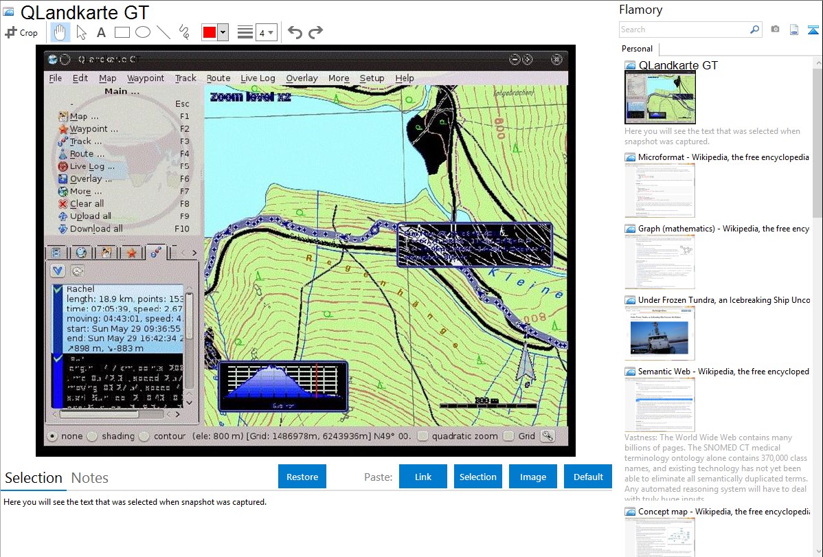
Here is how QLandkarte GT snapshot can look like. Get Flamory and try this on your computer.
Application info
QLandkarte GT is a powerful Open Source GIS application to display your GPS data on a variety of maps. It's target is the less the scientific user but the private outdoor aficionado
It can be used for managing waypoints, routes, tracks and maps, and transferring them to a GPS device.
QLandkarte GT is also known as QLandkarte. Integration level may vary depending on the application version and other factors. Make sure that user are using recent version of QLandkarte GT. Please contact us if you have different integration experience.