 gvSIG Desktop and Flamory
Flamory provides the following integration abilities:
- Create and use window snapshots for gvSIG Desktop
- Take and edit gvSIG Desktop screenshots
- Automatically copy selected text from gvSIG Desktop and save it to Flamory history
To automate your day-to-day gvSIG Desktop tasks, use the Nekton automation platform. Describe your workflow in plain language, and get it automated using AI.
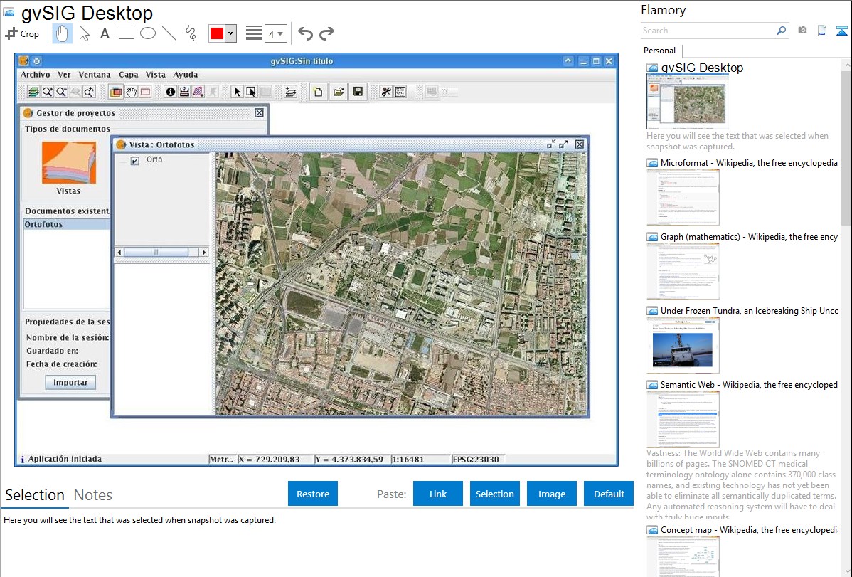
Screenshot editing
Flamory helps you capture and store screenshots from gvSIG Desktop by pressing a single hotkey. It will be saved to a history, so you can continue doing your tasks without interruptions. Later, you can edit the screenshot: crop, resize, add labels and highlights. After that, you can paste the screenshot into any other document or e-mail message.
Here is how gvSIG Desktop snapshot can look like. Get Flamory and try this on your computer.
Application info
gvSIG is a Geographic Information System (GIS), that is, a desktop application designed for capturing, storing, handling, analyzing and deploying any kind of referenced geographic information in order to solve complex management and planning problems.
gvSIG is known for having a user-friendly interface, being able to access the most common formats, both vector and raster ones. It features a wide range of tools for working with geographic-like information (query tools, layout creation, geoprocessing, networks, etc.), which turns gvSIG into the ideal tool for users working in the land realm.
gvSIG is known for:
integrating in the same view both local and remote data through OGC standards.
being designed to be easily extendable, allowing continous application enhancement, as well as enabling the development of tailor-made solutions.
being open source software, under GNU/GPL license, which allows its free use, distribution, study and improvement.
being available in several languages (Spanish, English, German, French, Italian,...)
being developed using Java, and being available for Linux, Windows and Mac OS X platforms
Features
Typical tools in a full-fledged desktop GIS client can also be found in gvSIG, among other things:
Access to vector formats: SHP, DXF, GML, DWG, DGN,...
Access to raster formats: JPG2000, MrSID, Ecw, Erdas, Envi,..
Access to remote services: OGC (WMS, WFS, WFS-T, WCS), ArcIMS, Ecwp
Database access: PostGIS, MySQL, ArcSDE, Oracle,..
Display:zooms, panning, frames, ...
Query: information, area and distance measurement,...
Selection: by point, by rectangle, by polygon, by theme, alphanumeric search,..
Geoprocessing: buffer, intersection, clip, join, convex hull, ...
Editing: add features, alphanumeric editing, rotate, node editing,...
Catalogue and nomenclator services
Redes: camino mínimo, área de servicio, gestión de paradas,...
Topology: topological error fixing, polygons from lines, ...
Legend: unique values, intervals, symbology constructor, ...
Advanced labelling
Raster and remote sensing: dispersion diagrams, colour tables, filters, classification,...
Tables: links, joins, statistics, fields calculator,...
Layout constructor: cartographic elements (north, scale, frames,...), page layout,...
Printing:to PDF, to Postscript, export to several image formats,...
Publishing:MapServer\'S WCS, WMS and WFS, Geoserver\'S WFS.
Future plans
Connection with sensors
Surveying tools
4D tools
gvSIG Desktop is also known as gvSIG. Integration level may vary depending on the application version and other factors. Make sure that user are using recent version of gvSIG Desktop. Please contact us if you have different integration experience.