 SAGA GIS and Flamory
Flamory provides the following integration abilities:
- Create and use window snapshots for SAGA GIS
- Take and edit SAGA GIS screenshots
- Automatically copy selected text from SAGA GIS and save it to Flamory history
To automate your day-to-day SAGA GIS tasks, use the Nekton automation platform. Describe your workflow in plain language, and get it automated using AI.
Screenshot editing
Flamory helps you capture and store screenshots from SAGA GIS by pressing a single hotkey. It will be saved to a history, so you can continue doing your tasks without interruptions. Later, you can edit the screenshot: crop, resize, add labels and highlights. After that, you can paste the screenshot into any other document or e-mail message.
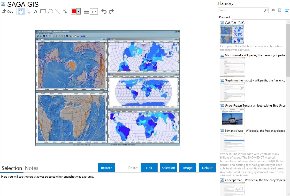
Here is how SAGA GIS snapshot can look like. Get Flamory and try this on your computer.
Application info
SAGA - System for Automated Geoscientific Analyses - is a Geographic Information System (GIS) software with immense capabilities for geodata processing and analysis. SAGA is programmed in the object oriented C++ language and supports the implementation of new functions with a very effective Application Programming Interface (API). Functions are organised as modules in framework independent Module Libraries and can be accessed via SAGA’s Graphical User Interface (GUI) or various scripting environments (shell scripts, Python, R, ...).
SAGA GIS is also known as SAGA. Integration level may vary depending on the application version and other factors. Make sure that user are using recent version of SAGA GIS. Please contact us if you have different integration experience.